Temporariamente Encerrado
Duração (Cycling) | 40min
Tipo de Bicicleta | BTT
Tipo de Terreno | Misto
Altitude Mínima | 170m
Altitude Máxima | 265m
![]() Centro Cyclin Portugal da Serra do Açor (como chegar)
Centro Cyclin Portugal da Serra do Açor (como chegar)
![]() Percurso Verde – Centro Cyclin’ Portugal da Serra do Açor.gpx
Percurso Verde – Centro Cyclin’ Portugal da Serra do Açor.gpx
![]() Percurso Verde – Centro Cyclin’ Portugal da Serra do Açor
Percurso Verde – Centro Cyclin’ Portugal da Serra do Açor
![]() Aldeias do Xisto – Centro Cyclin’Portugal da Serra do Açor – Coja (P31 – Verde)
Aldeias do Xisto – Centro Cyclin’Portugal da Serra do Açor – Coja (P31 – Verde)
Percurso
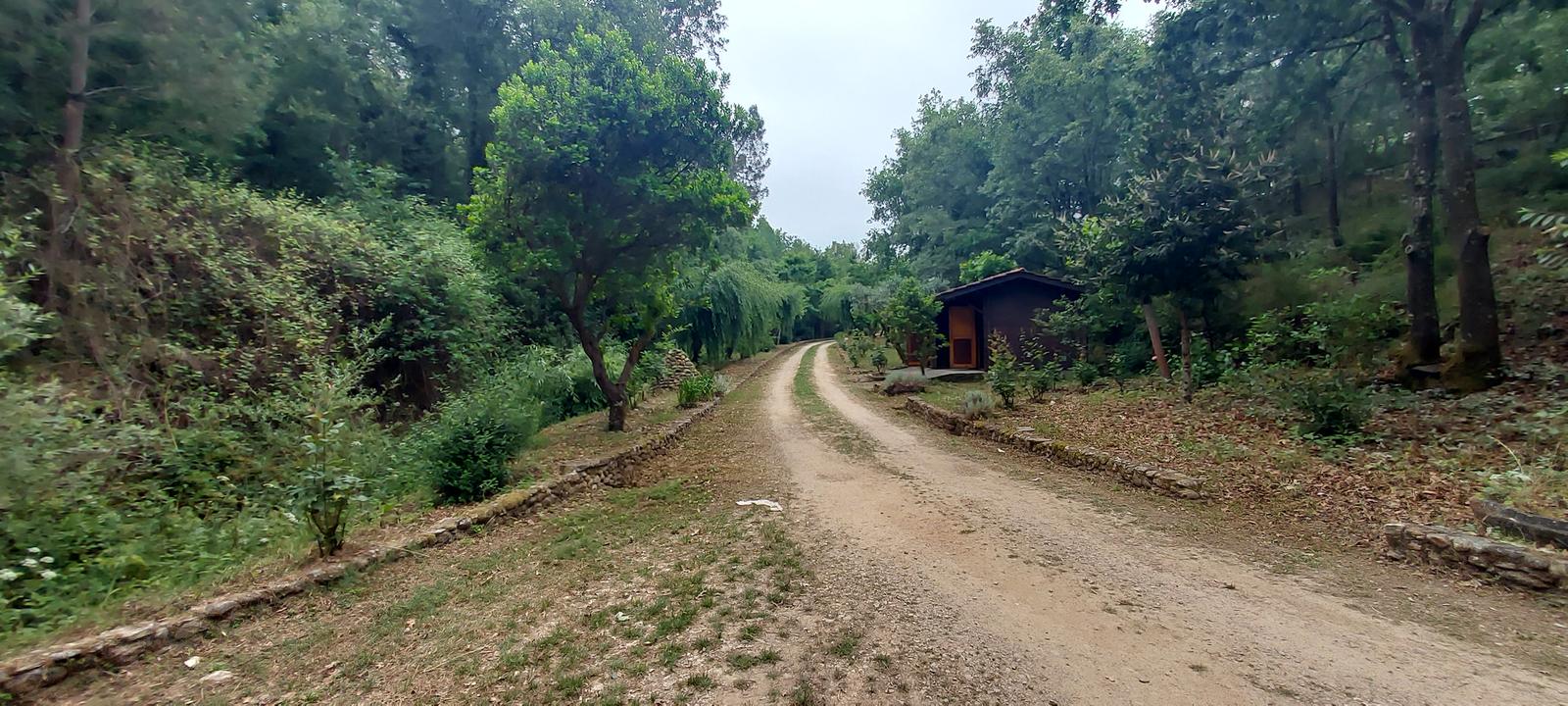
O percurso percorre algumas ruas estreitas de Coja, em direção à Ponte Romana onde inicia a incursão por pisos de terra batida, em direção ao Parque do Vale. Nesta fase o percurso segue pelo limite do perímetro urbano de Coja, junto ao Aeródromo e à zona das antigas indústrias cerâmicas. Contornada esta zona o percurso inflete para este (E) em direção à Quinta dos Vales, atravessando de seguida a zona de Gândara. Neste local inicia-se a abordagem a Coja, através de um caminho pavimentado descendente, até ao interior desse aglomerado. A travessia desta localidade é efetuada através das ruas antigas, passando junto ao centro paroquial e à Biblioteca, em direção à área agrícola pelo caminho da Senhora da Ribeira, seguindo um carreiro que acompanha uma levada, até ao final, no Parque do Prado.
Route
The route crosses some narrow streets of Coja, towards the Roman Bridge where the hike begins, through dirt paths, towards the Valley’s Park. At this point, the route follows the limit of the urban perimeter of Coja, close to the airfield and the area of the old ceramic industries. Going around this area, the route then inflects to the east (E) towards Quinta dos Vales,
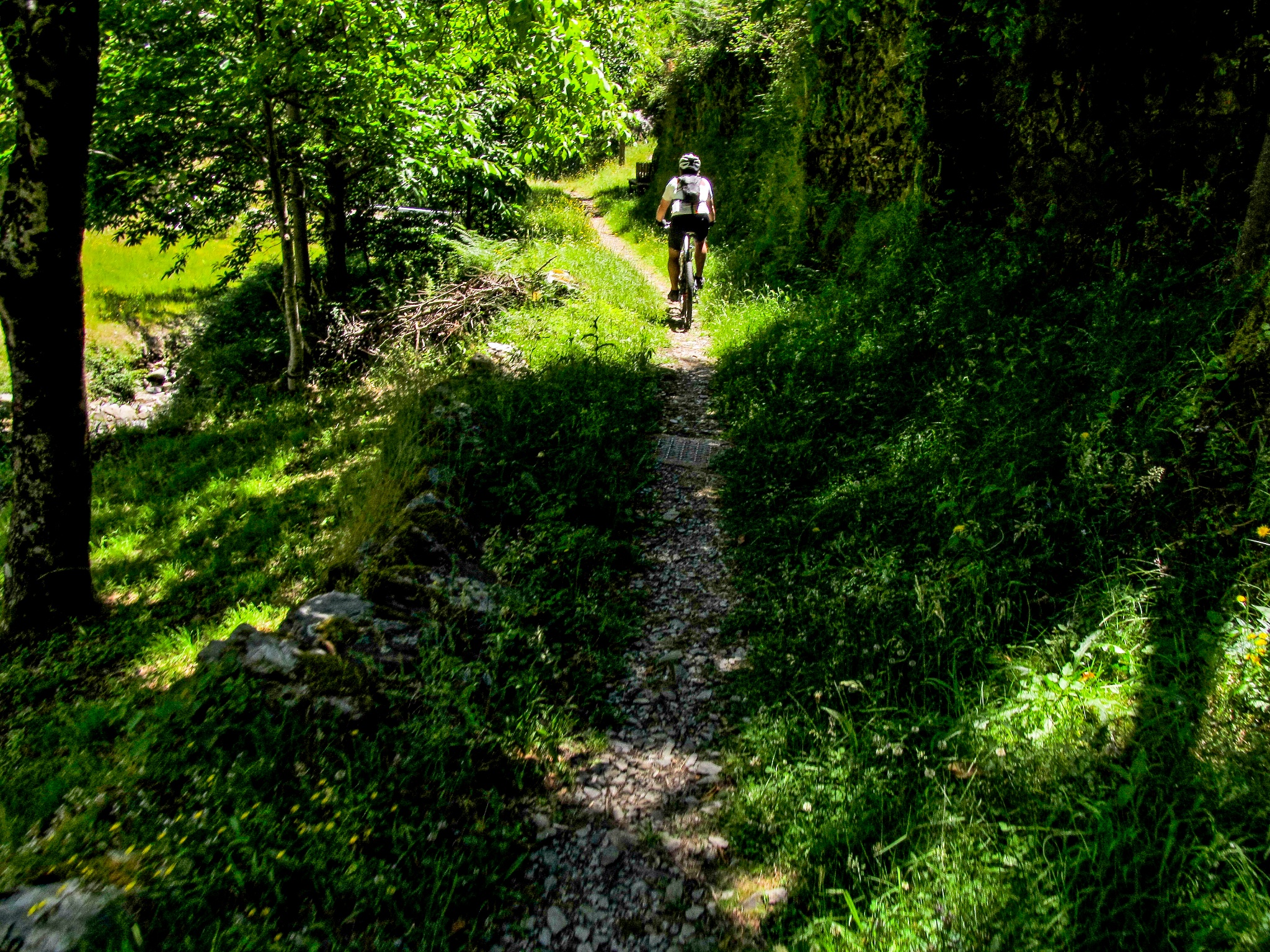
afterwards crossing the Gândara area. At this location, the approach to Coja begins, descending through a paved way up to the interior of this village. The crossing of the village is done through ancient streets, passing by the parish centre and the library towards the agricultural area using the way of the Lady of the River (“Senhora da Ribeira”) and following a narrow path that goes alongside a “levada” (human-made water channel) up to the end at Prado’s Park.
Grau de Dificuldade
O grau de dificuldade é representado segundo 4 itens diferentes, sendo cada um deles avaliado numa escala de 1 a 5 (do mais fácil ao mais difícil).
Tipo de Piso | 2
Esforço Físico | 2
Adversidade | 3
Orientação | 2