Duração (Cycling) | 6h00
Tipo de Bicicleta | BTT
Tipo de Terreno | Misto
Altitude Mínima | 140m
Altitude Máxima | 1082m
![]() Centro Cyclin Portugal da Serra do Açor (como chegar)
Centro Cyclin Portugal da Serra do Açor (como chegar)
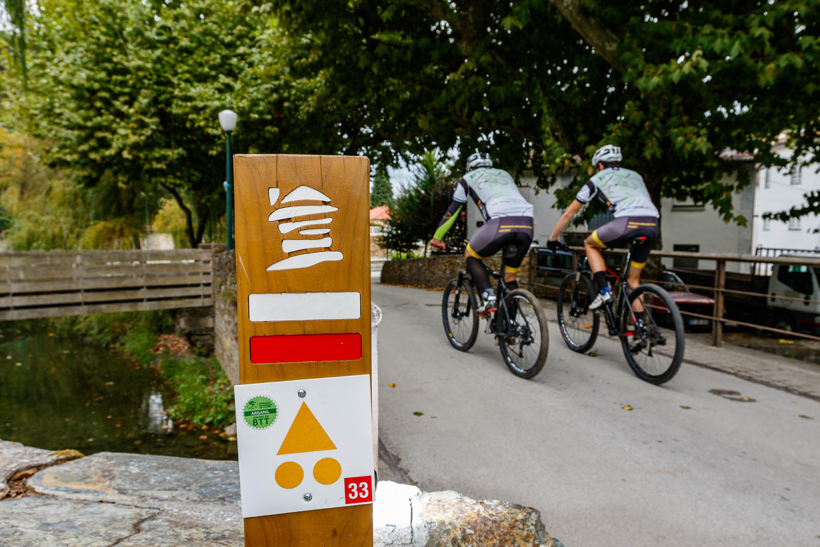
![]() Percurso Preto – Centro Cyclin’ Portugal da Serra do Açor.gpx
Percurso Preto – Centro Cyclin’ Portugal da Serra do Açor.gpx
![]() Percurso Preto – Centro Cyclin’ Portugal da Serra do Açor
Percurso Preto – Centro Cyclin’ Portugal da Serra do Açor
![]() Aldeias do Xisto – Centro Cyclin’Portugal da Serra do Açor – Coja (P34 – Preto)
Aldeias do Xisto – Centro Cyclin’Portugal da Serra do Açor – Coja (P34 – Preto)
Percurso
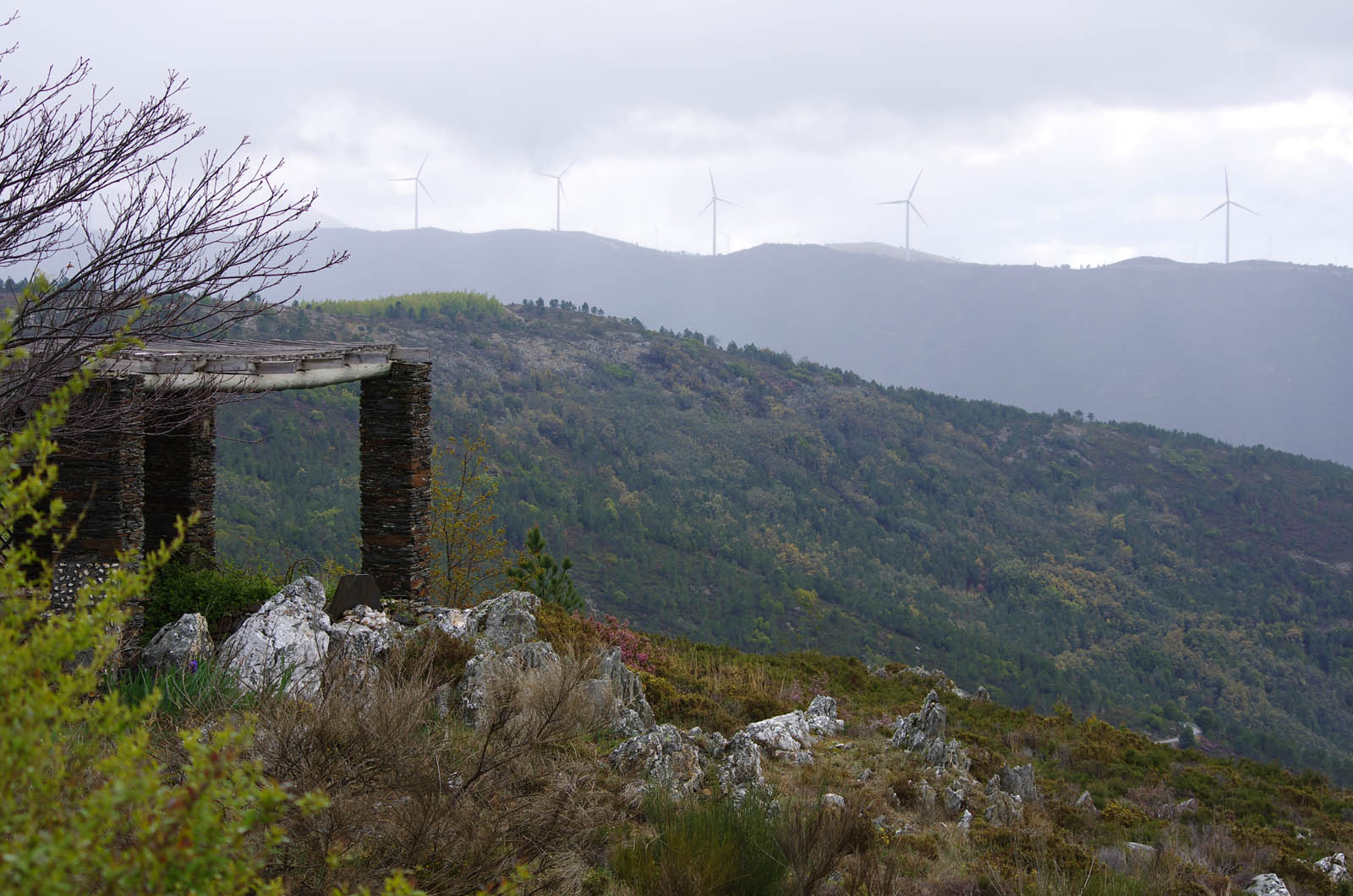
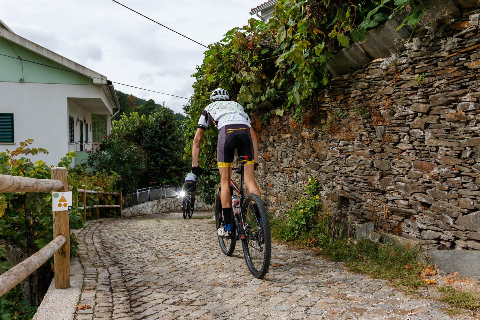
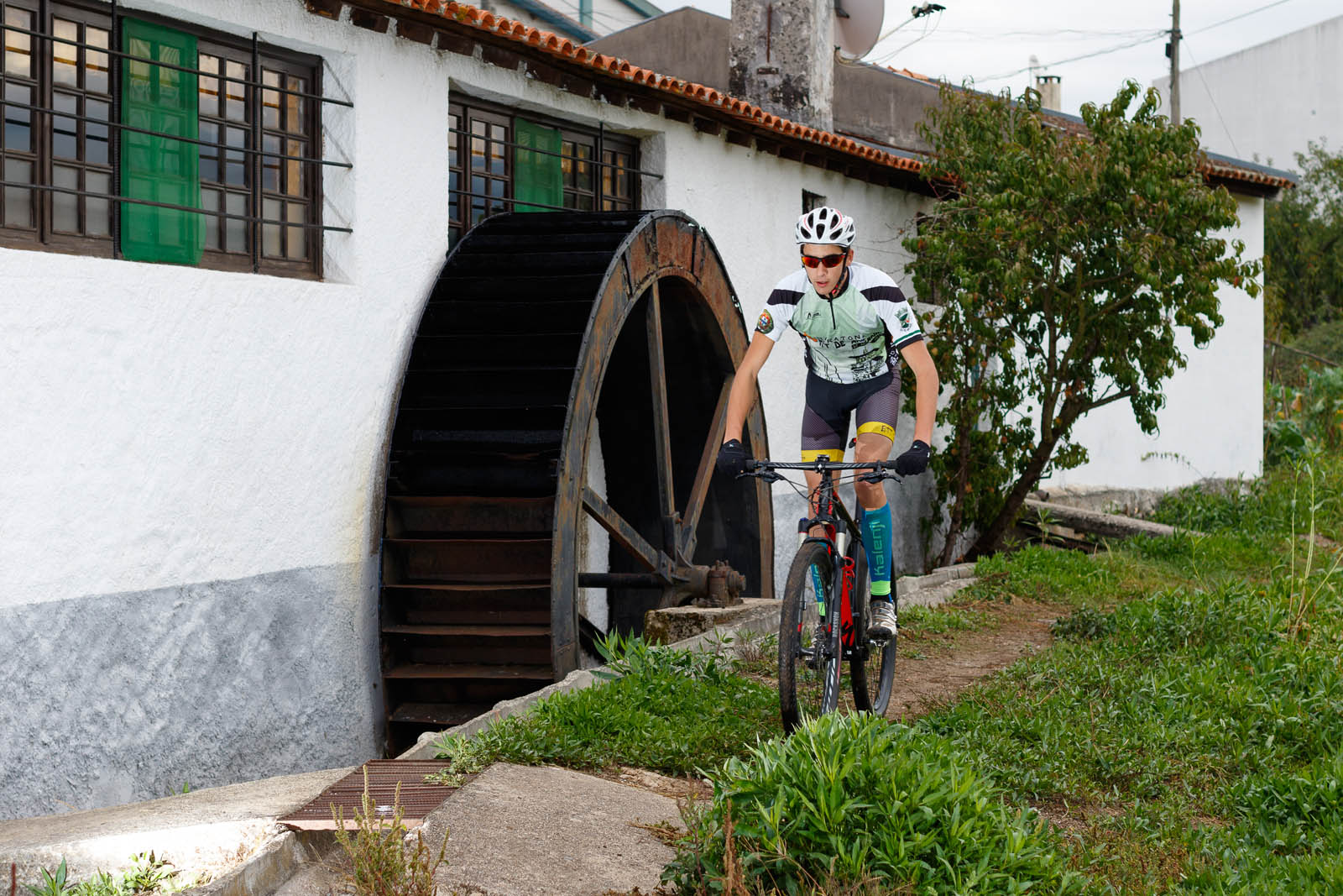
No início, com o percurso com o percurso verde, azul e vermelho, segue-se nas ruas de Coja, a Ponte Romana e o Parque do Vale, entrando nos pisos de terra batida, pelo Aeródromo e a zona das antigas indústrias cerâmicas, onde abandona o percurso verde, prosseguindo ao longo do vale do Rio Alva, em direção à ponte em Barril de Alva e a Vila Cova de Alva. Atravessadas as ruas seculares segue-se, em direção a este (E) e depois para sul (S), ao longo do vale da Ribeira do Porto de Avô, subindo-o em direção a Anceriz e descendo posteriormente para Portelinha e Pomares. Aqui é iniciada a subida da serra em direção ao alto do Carvalhal, entre as cotas de 500m e os 600m.
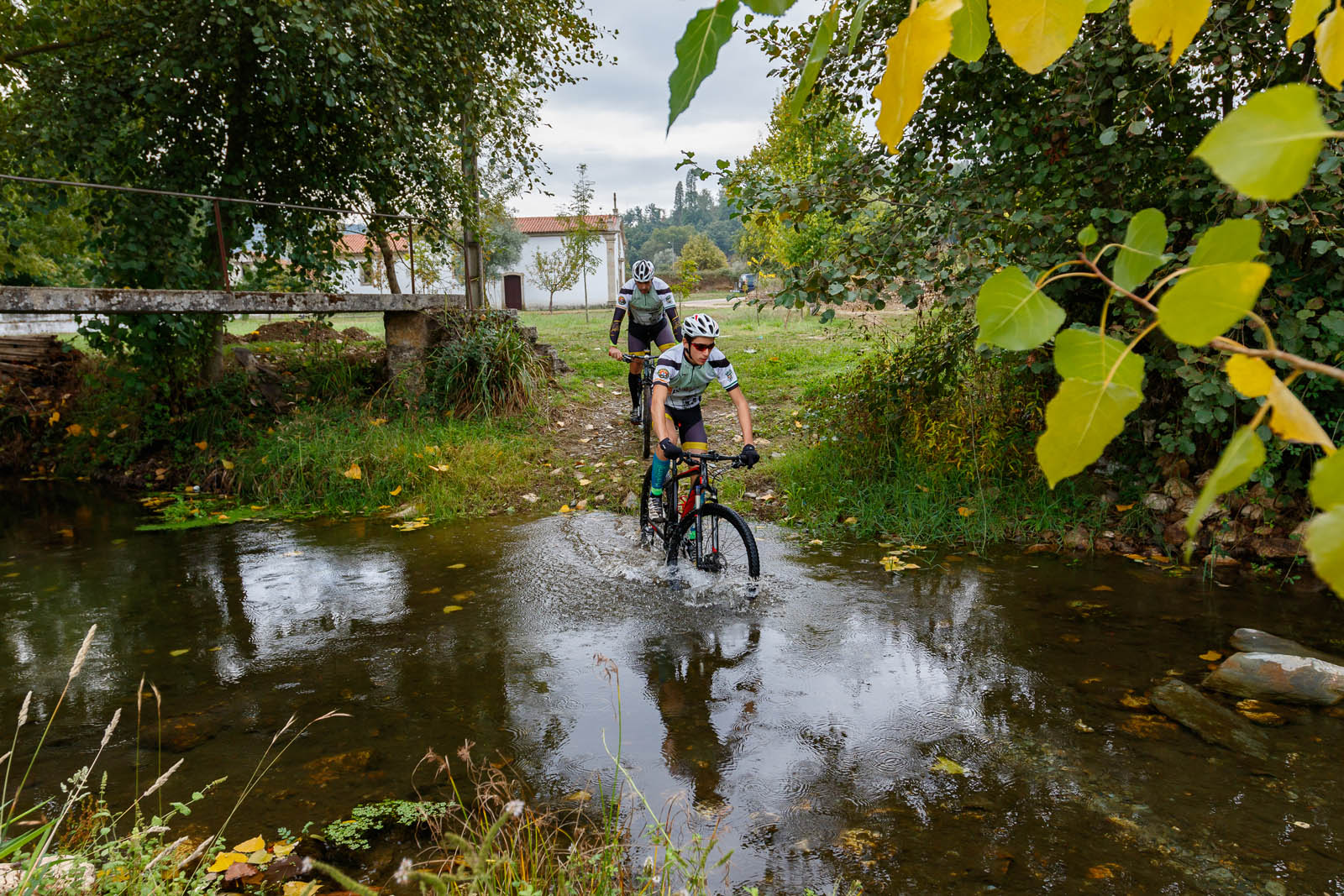
No final da subida é feita a separação do percurso vermelho pelo lado sudeste (SE), para o cabeço da Chama e depois ao longo da vertente para Moura da Serra. Nesta localidade é reiniciada a subida da Serra do Açor, pelo caminho antigo para Mourisia e para a “Encosta de Amieira”. No topo encontra-se a estrada real e desce-se, em pisos de xisto, por vezes muito duros, até à Casa do Guarda Florestal. Aqui é possível optar pela ligação ao percurso vermelho, reduzindo a distância e o nível de dificuldade física. Continuando o percurso preto, segue-se até Parrozelos e Porto Castanheiro, por antigos caminhos em xisto nos socalcos e depois em caminhos florestais até à pitoresca localidade de Água d’Alte, onde inicia uma nova subida, em direção a Selada das Eiras.Deste local avista-se o próximo desafio, o Posto de Vigia do Cabeço de Monte Redondo. Junto ao posto é iniciada a longa, rápida e técnica descida em trilhos single track, passando em “Deguimbra de Cima”, “Pêra Afonso”, até à Ribeira de Folques, curso de água que o percurso acompanha até Arganil, passando pela Quinta do Mosteiro, Folques, Valbona e os carvalhais do Mont’Alto. A passagem em Arganil é feita sempre ao longo da Ribeira de Folques e depois pelo longo trilho do Rio Alva até à praia fluvial em Secarias. Aqui é abandonado o trilho e sobe-se para cotas mais elevadas num encadeado de caminhos florestais em direção a Machorro, e depois Coja, onde ao chegar reencontra os percursos azul e vermelho, até ao Centro Cyclin’ Portugal da Serra do Açor.
Route
At the starting point, together with the green, blue and red routes, this route goes along the streets of Coja, the Roman Bridge and the Valley’s Park, entering the dirt paths through the airfield and the area of the old ceramic industries, where it leaves the green route continuing along the Valley of the Alva River, towards the bridge at Barril de Alva and up to Vila Cova de Alva. Crossing the secular streets, the route continues eastward (E) and then southward (S), along the Valley of the Porto de Avô River, upwards
to Anceriz and descending later to Portelinha and Pomares.
At this point, the ascent to the mountain begins towards the top of Carvalhal, between 500m and 600m altitude. At the end of the ascent, the red route is left behind on the southeast side (SE) towards Cabeço da Chama, continuing along the slope to Moura da Serra. It is at this point that the ascent to Açor Mountain is resumed, using the old road to Mourisia and to the Amieira’s Slope (“Encosta de Amieira”). At the top, the route meets the royal road and descends through, sometimes very hard, schist pavements up to the House of the Forest Ranger. Here, it is possible to choose the connection with the red route, reducing the distance and the level of physical difficulty. Continuing on the black route, this one goes to Parrozelos and Porto Castanheiro, through ancient schist paths in the terraces and then across forest paths up to the picturesque town of Água d’Alte, where there is a new ascent towards Selada das Eiras.
From this point, it is possible to see the next challenge, the “Cabeço de Monte Redondo” Watchtower. Near the watchtower a long, fast and technical descent begins on single track trails. It passes by “Deguimbra de Cima”, “Pêra Afonso”, up to the Folques River, a water course that the route accompanies up to Arganil, passing through Quinta do Mosteiro, Folques, Valbona and the oak trees of Mont’Alto. The transit through Arganil is always made along the Folques River and then following the long trail of the Alva River to the fluvial beach in Secarias. At this point, the trail is abandoned as it rises to higher altitudes in an intersection of forest paths towards Machorro and then Coja, where the black route reconnects with the blue and red routes up to the Approved Serra do Açor Cyclin‘ Portugal Center.
Grau de Dificuldade
O grau de dificuldade é representado segundo 4 itens diferentes, sendo cada um deles avaliado numa escala de 1 a 5 (do mais fácil ao mais difícil).
Tipo de Piso | 2
Esforço Físico | 5
Adversidade | 3
Orientação | 2